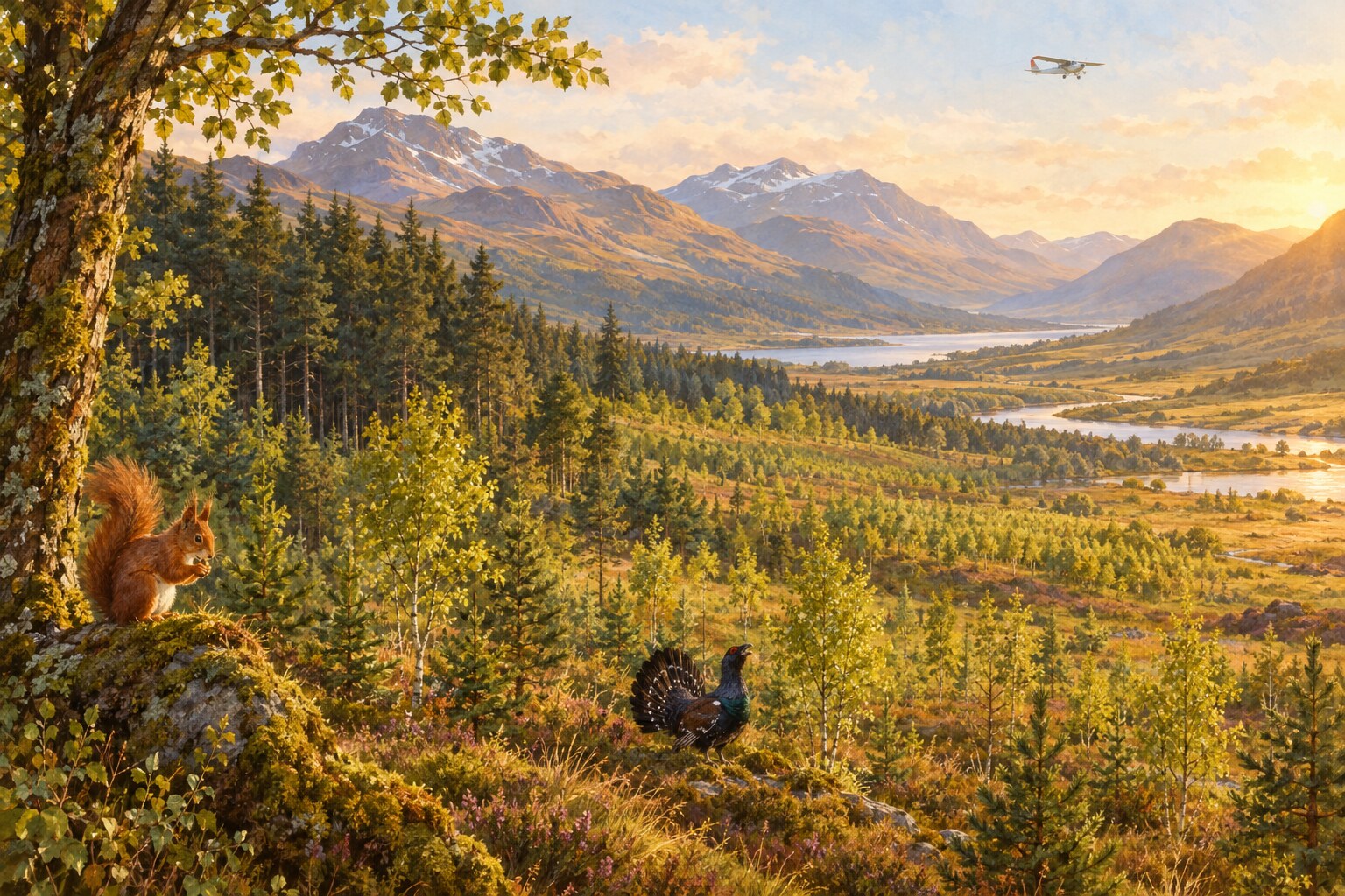
A University of Cambridge-led team used laser scans from an aircraft to make detailed three-dimensional maps of woodland recovery across 569 square kilometres of Scotland’s Cairngorms.
The survey identified more than six million individual trees and measured their height. About 2.65 million were under five metres tall, showing how much new growth is still developing.
More than 5,235 hectares of land that was once open now supports young woodland. Most of the trees grew naturally, with planting used only in small areas where nearby seed sources were missing.
The maps also show where regeneration is strongest and where boggy ground is slowing it down. That information can help restoration groups decide where to focus their next efforts.