Environmental restoration often happens out of the spotlight, long after a spill or disaster fades from the news cycle. This week, NOAA highlighted the long arc of that work with an updated public tool.
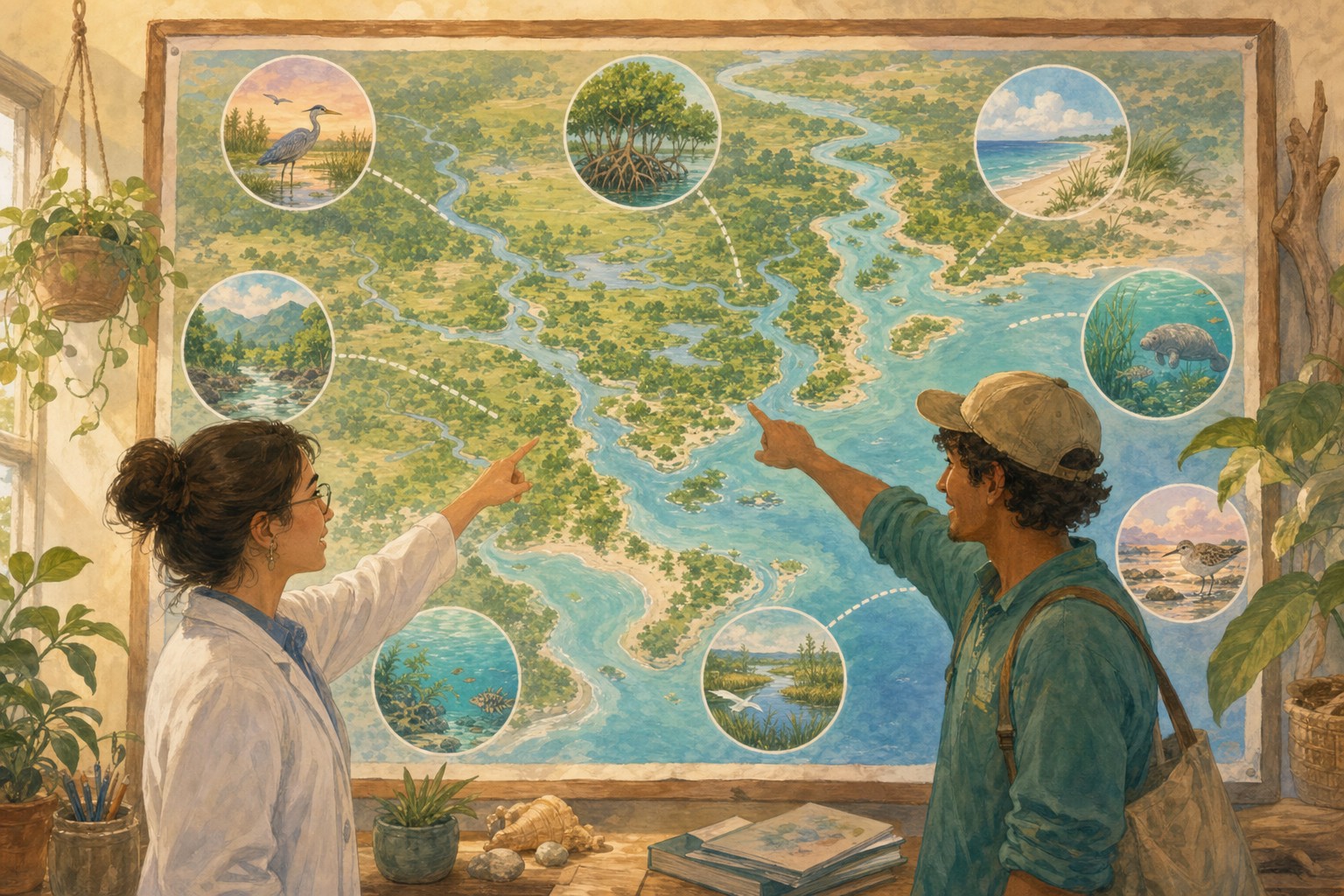
NOAA’s Office of Response and Restoration announced an updated interactive case map from its Damage Assessment, Remediation and Restoration Program. NOAA says the map helps the public explore more than 30 years of habitat restoration across the country.
According to NOAA, the map includes more than 148 nationwide pollution cases and incidents. It covers examples such as oil spills, Superfund sites, and vessel groundings, showing where damage occurred and where restoration work has followed.
A map does not restore a marsh by itself. But making the record visible matters. It can help communities understand what recovery work has been done, and it can remind all of us that environmental harm is not always the end of the story.
(This story is about transparency and documentation of restoration; each case has its own timeline and outcomes.)